In the center of Hebgen Lake 20 miles from West Yellowstone was an earthquake measuring 7.5 on the Richter Scale. The date was August 17, 1959. You can see where the huge landslide fell, blocking the river and created Quake Lake, 190 feet deep and five miles long.

Down river was the Hebgen Dam, amazingly it remained intact. However the land surrounding Hebgen Lake tilted and left one side of the lake underwater and the other side high and dry.


Crazy good times: Tim, Steve, Becky, Bob & Melinda

In this camp site you can see remnants of the fire ring at the top and the picnic table at the bottom. That is how far the earth shifted the night of the earthquake

The area is very picturesque. This looks like a brochure for the beauty of Montana. And the camper


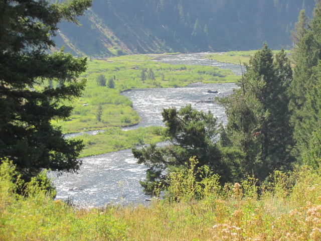
From the outlook at Refuge Point you can see the river running below. People were stranded in both directions, either by water or landslides. Refuge Point is the area people gathered for rescue efforts
You can barely see the rooftop in the distance of ranch homes that were lifted up by the water and deposited in what is now the banks of the river.


They call these ghost trees


Quake Lake is is decreasing and will eventually return to being a river. Making this area even more interesting is that Steve and his family camped here frequently when he was growing up. They could easily have been here that fateful August night.

We continued our drive through the Montana countryside


We stopped at Wade Lake for a picnic

and continued to Cliff Lake to watch families playing in the beautiful blue water

Our dirt road went by lakes, ranches, forests with stunning views of the Rocky Mountains.


No comments:
Post a Comment